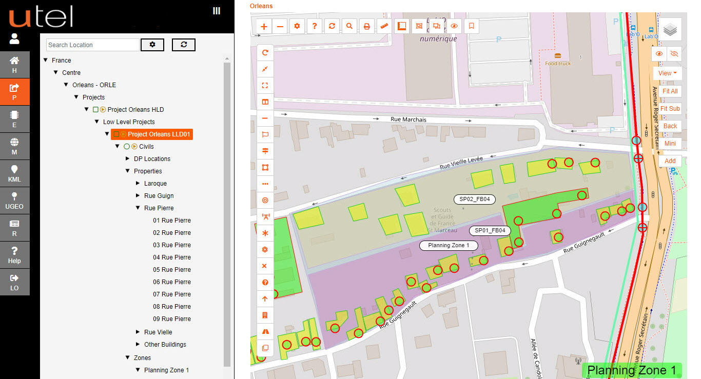
Select 'Capture Splitter Zone' button located on the top of the map.
Start placing your polygon on the map.
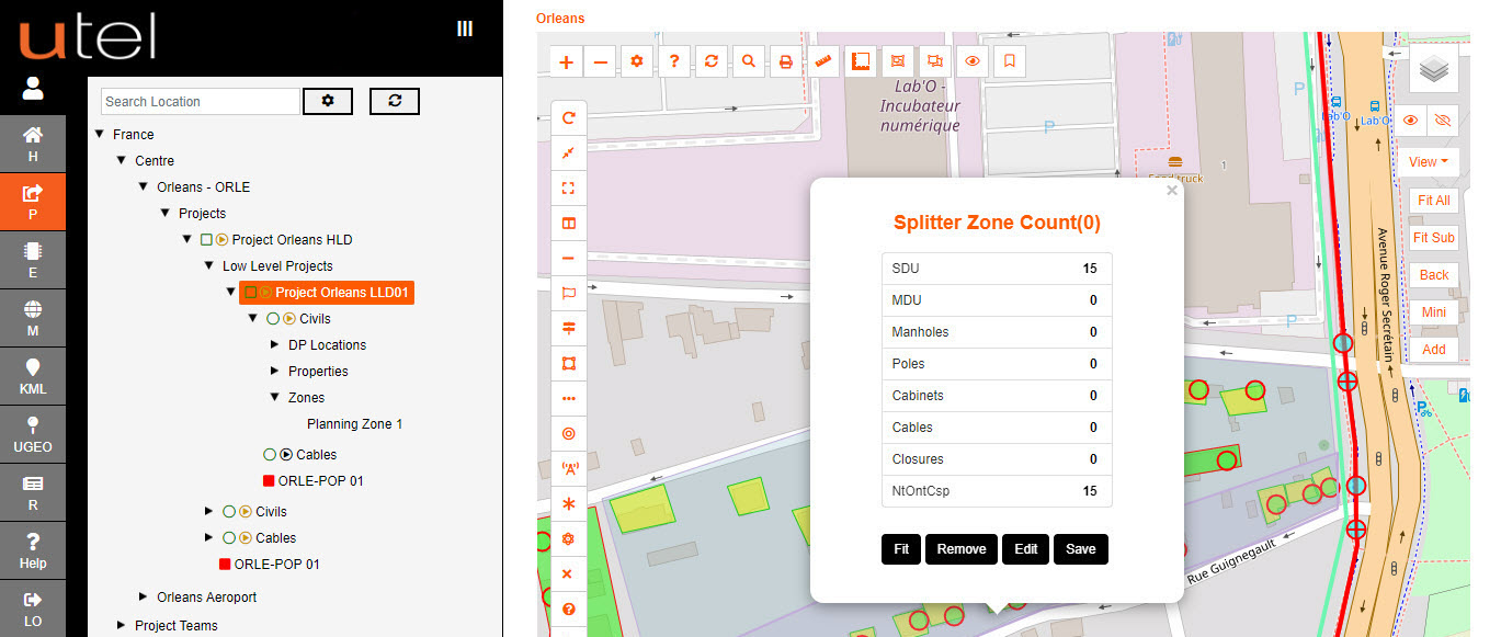
Once the polygon is closed then a pop up is presented indicating how many SDU's and MDU's (single and multiple dwelling units) are captured within.
The list of manholes, poles, cabinets, cables, closures, and end points are listed too to help with the splitter assignment.
Edit the outline accordingly and the count is updated.
Save is an option to utilize the zone as a regular zone; where the civil's can be encapsulated within for ease of grouping.
Select the colour, and opacity, of the Splitter Zones to allow them to be distinguished.